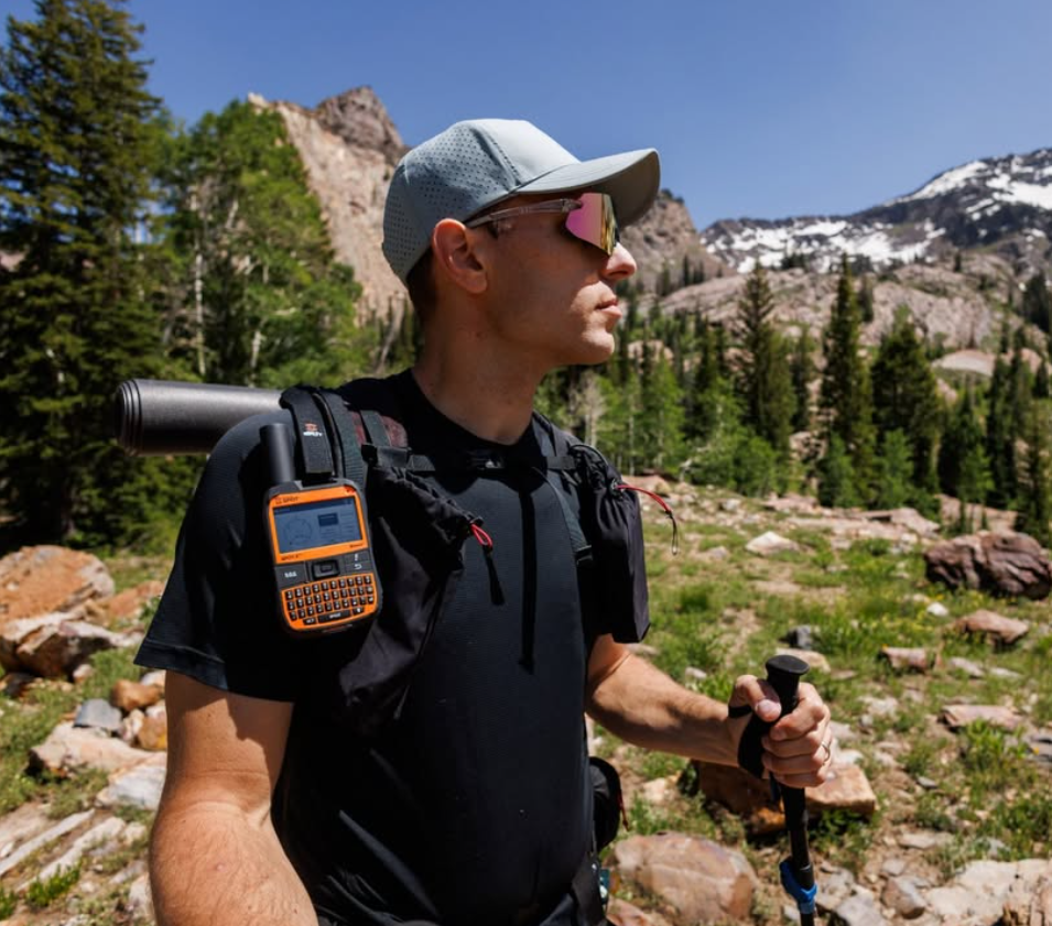
Being able to tell someone you're safely at camp, or that a long day is going to finish later than planned, is a good reason to carry a satellite communicator. It also means that the person at home can ask a question and get an answer while you're miles beyond mobile coverage. The preparation is worth doing a few days before you leave: activate the service, sync the device, test a satellite message and agree what your check-ins will mean.
A communicator that has spent six months in a drawer may still have last season's contacts and a paused subscription. A newly paired phone can send a reassuring test message over Wi-Fi while the satellite connection remains untested. Those are much easier problems to sort out at home than beside a trailhead with everyone waiting to get going.
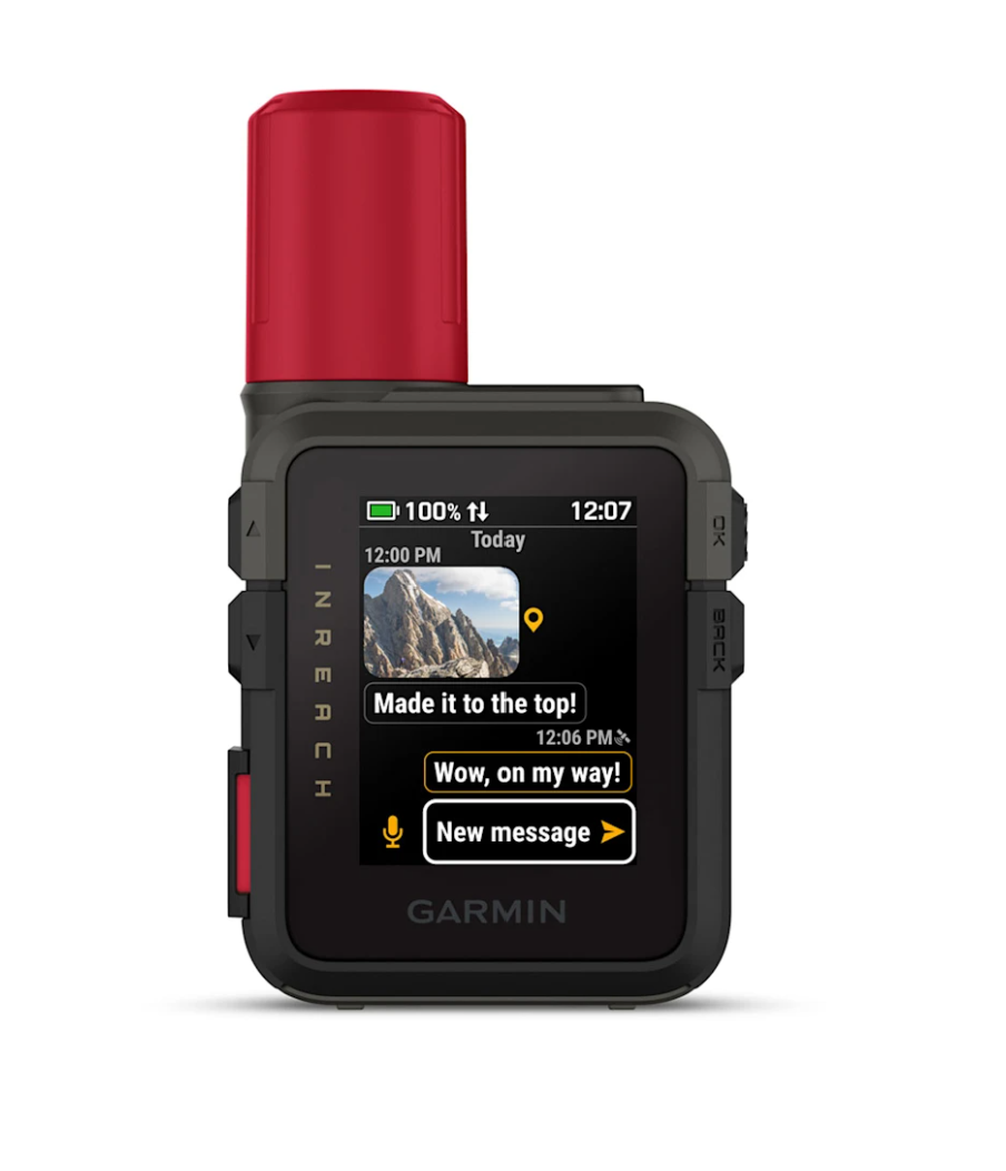
We use the Garmin inReach Mini 3 Plus and Bluetooth SPOT X as the examples here. Our inReach review and SPOT X review cover how each behaved on trips; this guide is about getting the device, account and people at home ready for the next one.
Sort out activation while you still have time
Open the provider account and check the device's service status. If you've suspended a seasonal plan, complete reactivation and wait for the account and device to reflect it. A working navigation screen tells you that the unit has power; the subscription status tells you whether its satellite services are available.
For the inReach Mini 3 Plus, Garmin's setup uses the Garmin Messenger app to pair the phone and activate a service plan. Activation needs an internet connection and a valid phone number that can receive an SMS. Garmin also records feature restrictions when this model is activated through the Explore website instead of Messenger, including restrictions on receiving voice notes and using group messages. We'd use the documented Messenger activation route and finish it before travelling. [1]
For the SPOT X, activation is through SPOT My Account. Have the device's ESN and authorisation code available, complete the plan setup, then update and sync the unit. Contacts and predefined messages saved in the account need to reach the device too. [13]
Read the allowances for the features you'll use: custom messages, incoming replies, tracking and any richer messages. Set the device around that plan before starting a long trip. If you're lending or borrowing a communicator, also check whose details the provider holds for the person carrying it.
Check the route against the right coverage map
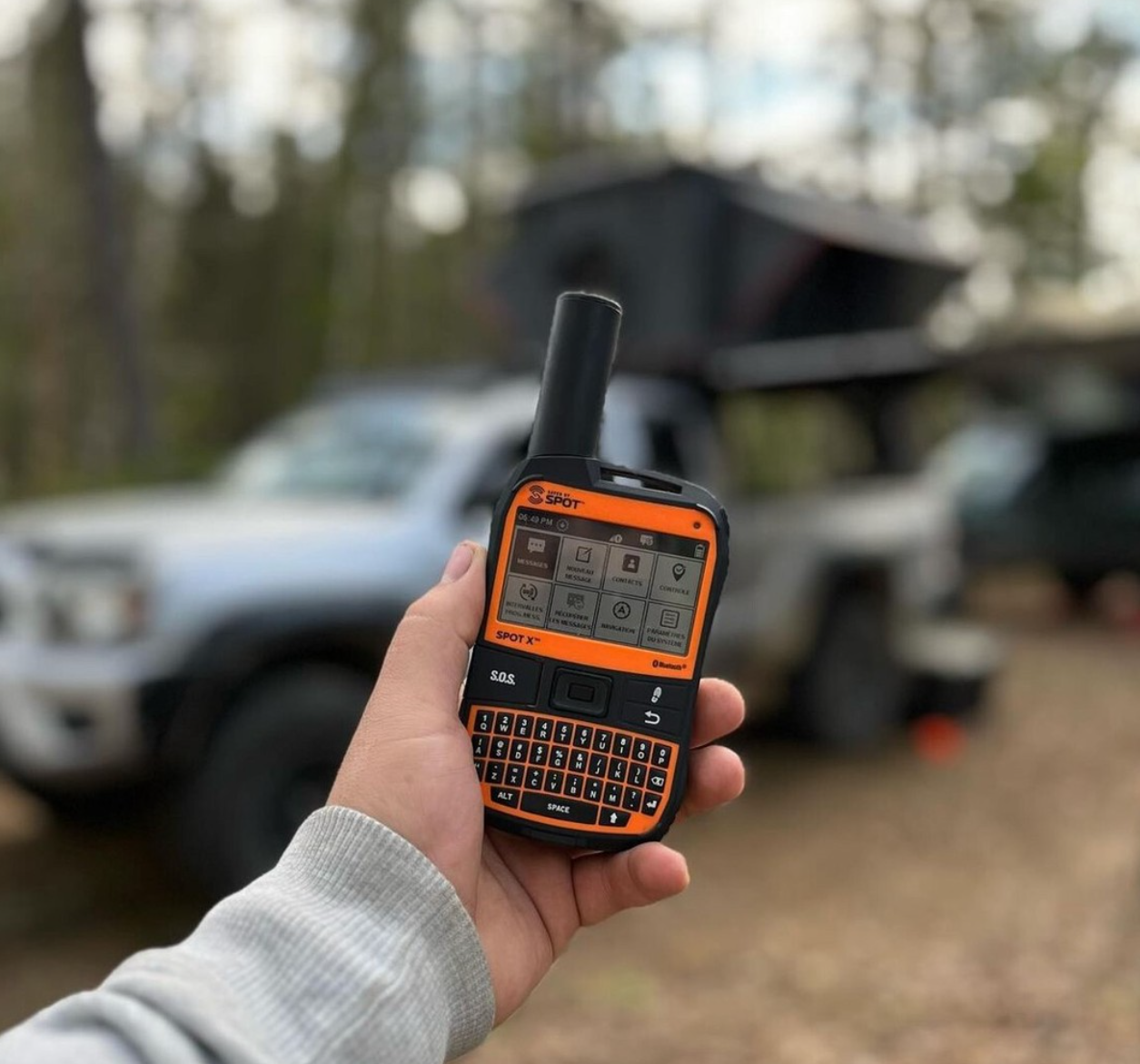
The word satellite covers several different networks and services. For SPOT, open the SPOT X-specific coverage map and check the entire route, including your alternatives. Its map distinguishes two-way coverage from SOS and one-way coverage, with fringe areas marked separately. A message going out and a reply coming back are different requirements when you're planning around two-way contact. [14]
Network coverage also needs a usable view of the sky. Cliffs, deep valleys, buildings and dense tree cover can obstruct a connection inside an otherwise covered area. SPOT explicitly calls out deep canyons and very dense woods in its guidance. Choose somewhere open for the first test so a poor test location doesn't confuse the setup work. [17]
For international travel, check the destination's rules on carrying and using satellite communicators before packing one. Garmin flags jurisdictional restrictions in its activation guidance. [1]
Sync the changes you made in the account
Saving a contact on a website and finding it on the handheld are separate steps. Once you've edited the account, open the relevant app or updater, let it finish and check a couple of the changed entries on the device.
On the Mini 3 series, Garmin says to sync changes such as contacts, check-in settings and plan details through the paired app. In Messenger, check the connection on the Device tab and allow the sync to complete. Garmin's update guidance also covers wireless software updates through Messenger or Explore, with Garmin Express available for computer-based updates. [3] [2]
On SPOT X, use the SPOT X Firmware Updater on a computer to update and sync with My Account. A cable that has only ever charged something deserves a quick check here: you need a working data connection for a computer sync. Finish the process, disconnect and confirm that the edited contacts and predefined messages are present. [13]
We'd do updates with time left for another outdoor test. If the phone, app or firmware has changed since the last trip, include the changed setup in that test.
Make sure the satellite link gets tested
A message sent from the kitchen can travel over your phone's internet connection. That's useful during everyday use, but we want to see the satellite service working before relying on it away from coverage.
Garmin inReach Mini 3 and Mini 3 Plus
- Take the communicator outside with an open view of the sky.
- Switch the paired phone off for the standalone service test.
- On the communicator, open Service Plan, then its options menu.
- Select Test Device, then Start Test.
- Wait for the confirmation and read the test summary.
Garmin's support instructions explain that the satellite part may be unchecked when a phone connection was used during the test. If that happens, use Test Satellite and repeat with the phone off. A successful satellite result is the one we're looking for here. [4] [5]
SPOT X
SPOT recommends an ordinary test message before heading off-grid. Send one from an open location and confirm it reaches the intended person. Keep the unit positioned for reception while it works, rather than immediately packing it away after pressing send. [17]
Use the service test or an ordinary message for this job. SOS has a separate testing procedure, covered below.
Check-in contacts and emergency contacts do different jobs
The people receiving routine messages may be different from the people the response service calls during an SOS. Review both lists. A friend who enjoys seeing your campsite photographs might be travelling too; an emergency contact needs to be reachable and able to explain your plan.
For Garmin, edit emergency contacts and notes in the account's emergency-information settings. Garmin's support guidance describes the Explore website route as Account > My Info > Emergency Information. Check the primary and secondary numbers and the information attached to the device. [6]
SPOT's SOS settings provide space for emergency contacts, relevant medical details and activity information. Update the dates, route, group details and anything relevant to the person carrying the unit. Tell the contacts they've been listed and send them the itinerary. This is particularly useful when the communicator has been lent to somebody else. [16]
Give the person at home a compact trip plan they can find quickly: intended route, alternative exits, party members, transport details, when you expect to finish and the agreed overdue procedure. Keep a copy available without needing to log into your private provider account.
Agree what the check-ins mean
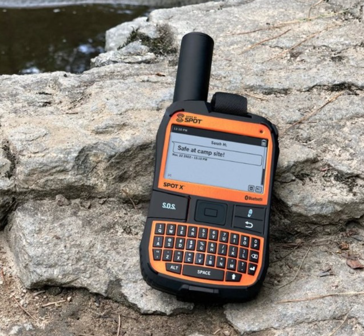
All okay is useful only if both sides know what it refers to. We prefer a small set of messages with a clear meaning, plus a custom message when plans change.
| Message | What we've agreed it means |
|---|---|
| Starting the day | We've set off on today's planned route. |
| At camp, all well | We've stopped for the night and don't need assistance. |
| Delayed, all well | We're safe, but our timing has changed. We'll follow with a revised plan or next contact time. |
| Trip finished | We're back at the agreed finish and the trip plan can be closed. |
Adapt these examples to the trip and choose a routine you can keep. If the device provides fixed check-in wording, agree what that wording means and use a custom text for anything it can't explain.
Agree contact windows in a stated time zone, how the person at home should try to reach you if a message is late, and when they should act on the overdue plan. Base that plan on the route, conditions and consequences of a delay. A short hill walk and several days in remote country need different contact arrangements.
A tracking gap deserves context too. In our SPOT X field review, forest cover left gaps in uploaded tracks. Tell the person watching that a map can show an old point, and make sure they know where to find its timestamp. The agreed contact and overdue plan gives them something more useful to work with than a stationary dot.
Open the route with the phone offline
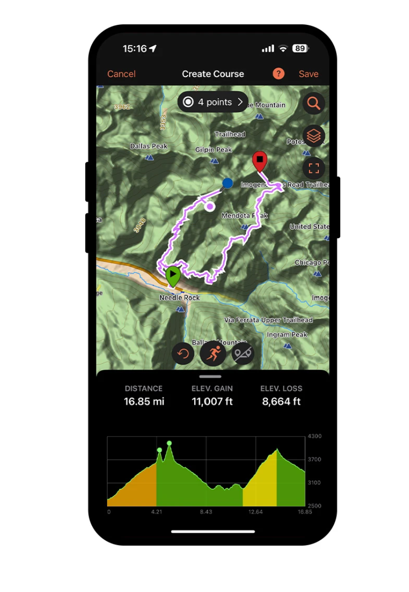
Do the navigation preparation while you have a decent connection. In Garmin Explore, download the maps covering the route and its alternatives, then sync the courses and waypoints you want available. Garmin documents offline map downloads in Explore; detailed map viewing is on the phone. [7]
Put the phone offline and open the downloaded area. Zoom in far enough to inspect the useful detail, find the route and look at the way out as well as the way in. If the phone displays a blank patch where the next day's walking should be, there's still something to download.
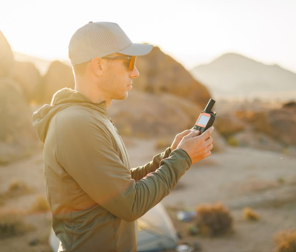
Then try the communicator with the phone switched off. Find a saved contact, send a check-in, read a received message and locate the navigation functions you intend to use. On SPOT X, practise the keyboard enough to send a short custom update. It is better to discover an awkward menu now than when the phone's battery has run down.
Our GPS watch vs satellite communicator guide explains how recording and following a route differ from sending your position to someone elsewhere.
Set tracking for the trip and share a working link
Choose the send interval with the trip in mind. Frequent points may be useful on a moving day, while a few deliberate check-ins may suit another itinerary. On the Mini 3 series, Garmin separates the interval for satellite track transmissions from the detail recorded in the device's activity log; both settings affect battery use. [8]
If you're using MapShare, enable it and set the access preferences before sending the link. Ask the recipient to open it on their own phone, including any password you've chosen, and check that they can see the intended trip information. Garmin supports route sharing, track points and messaging through MapShare. Check its visibility settings before sharing a location page more widely. [9]
For SPOT, test the shared mapping page with the person following you and show them how to read the latest point's time. In both systems, confirm whether tracking starts automatically or needs to be started manually. Someone expecting a moving track should know if you've agreed to send only an evening check-in.
Budget power for the settings you'll use
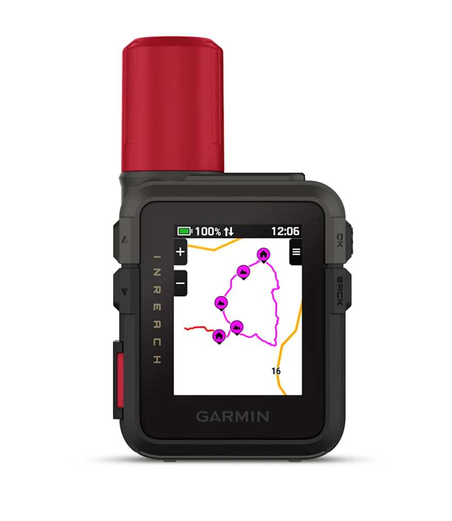
A headline battery figure becomes more useful once you've chosen the settings. Screen use, tracking frequency, activity recording and message habits all change the workload. Garmin's battery guidance includes reducing screen brightness and timeout, sending track points less frequently and using standard-detail recording. Select the settings you need, then leave them in place for the test outing. [10]
Charge the communicator, phone and power bank, and try the exact cable combination you're packing. The Mini 3 Plus uses USB-C; the SPOT X uses Micro-USB. A power bank with only a USB-C lead won't be much use to the SPOT. Those charging arrangements are covered in our Garmin and SPOT X reviews.
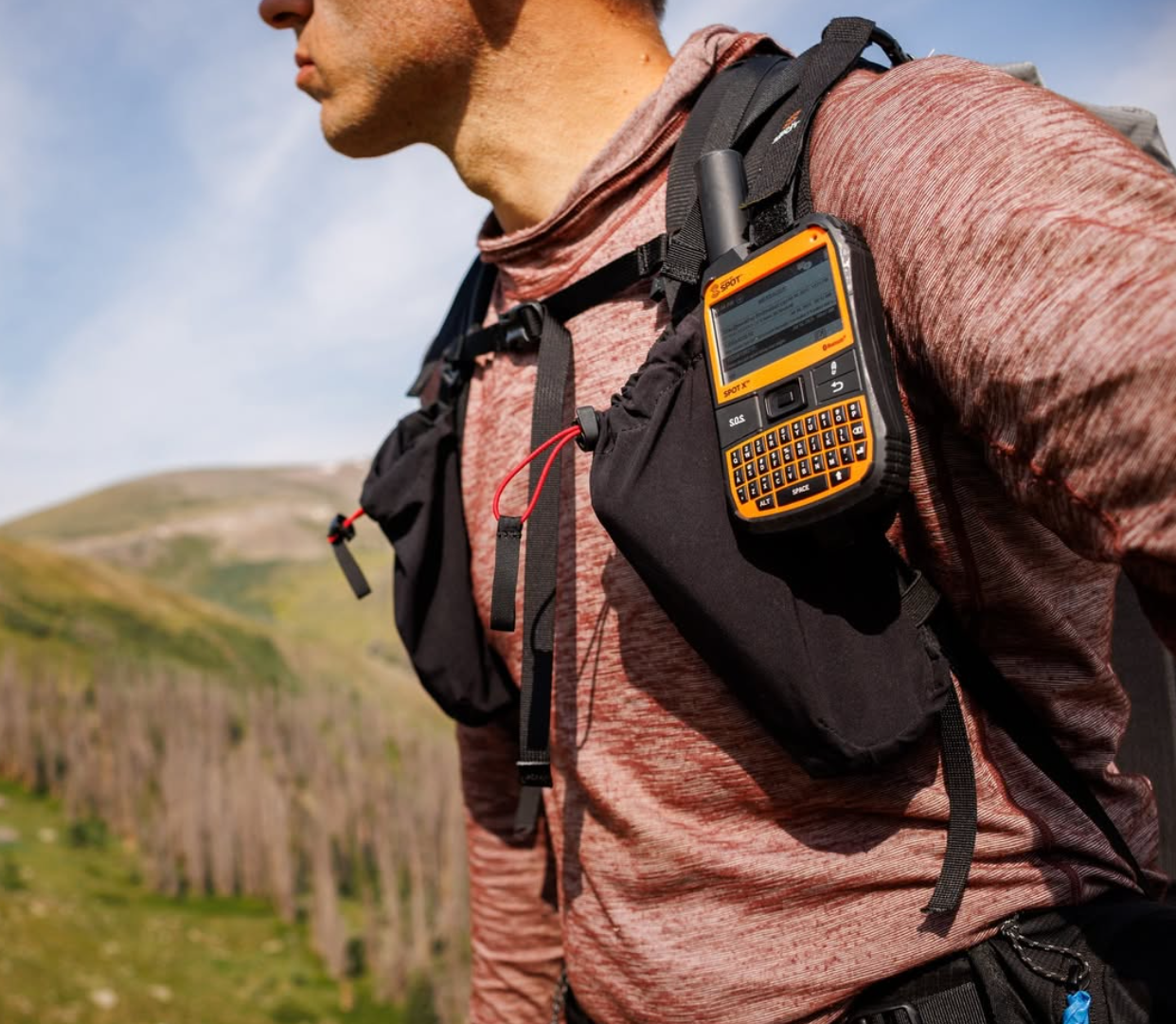
Decide where the device will live while walking. The antenna needs sky view, and you should be able to reach the unit without unpacking the rucksack. For SPOT X, the manual calls for an upright orientation with the antenna towards the sky. Check that the attachment stays secure with the pack loaded, and that your shoulder strap, jacket or pack lid isn't folding over it. [13]
Try sending a message from that position during a local walk. If it struggles, stop somewhere more open and reposition it. Keep watching the message status while it works; putting a queued message and its antenna deep in the pack makes diagnosis harder.
Learn the SOS controls without making a live call
Read the activation and cancellation instructions for the exact model, and show another member of the group where the controls are. Make sure they know where you carry it. Garmin specifically recommends showing companions how to use the device before a group trip. [12]
Use ordinary messaging and the built-in service test for routine preparation. Don't trigger a live SOS as an informal test. Garmin offers scheduled SOS testing through Garmin Response, which confirms a time and provides instructions. SPOT has a dedicated account-based SOS Test Mode with its own cancellation, power-off and test-ending steps. If you need an SOS test, arrange and follow the provider's complete process. [12] [18]
For an accidental activation, use the documented cancellation process and respond to the response service's messages so it knows what happened. Keep the device available for communication. Garmin's SOS guidance also requires active service and a clear sky view; those are reasons to complete the account and outdoor checks well before the trip. [11]
The final check before leaving coverage
- Service: the correct device shows active service, and any reactivation has completed.
- Sync: the current contacts and messages are visible on the handheld.
- Satellite test: the outdoor service test succeeded over satellite, and a real contact received a message and replied.
- People: routine recipients and emergency contacts know the plan, the contact windows and the overdue procedure.
- Navigation: maps and routes open offline, including the alternatives.
- Power and carry: the packed leads charge the equipment, and the device is secure, accessible and positioned for sky view.
Send the departure message you agreed, start tracking if that's part of the plan, and check the status before putting the phone away. The useful end result is a working conversation with somebody who knows where you're going and what to do with the messages you send.
The communicators behind the examples
Read our Garmin inReach Mini 3 Plus review, SPOT X review and Garmin vs SPOT comparison for the field experience behind the choices. If you're deciding between a messenger and a beacon, our satellite communicator vs PLB guide covers the different jobs they do.
Manufacturer guidance
Sources and further reading
Setup instructions checked on 3 November 2026. The model-specific steps above use Garmin and SPOT documentation; the trip-plan examples are our suggested way to organise check-ins.
- Garmin: Mini 3 series activation
- Garmin: updating and syncing the Mini 3 series
- Garmin: syncing contacts and check-in changes
- Garmin: testing the Mini 3 series
- Garmin: verifying the satellite service test
- Garmin: updating emergency contacts and notes
- Garmin: Explore and offline maps
- Garmin: tracking settings
- Garmin: MapShare route sharing and access
- Garmin: maximising battery life
- Garmin: SOS operation and satellite access
- Garmin: group familiarisation and scheduled SOS tests
- SPOT X user guide: activation, sync and positioning
- SPOT: device-specific coverage maps
- SPOT X: custom-message contacts and number format
- SPOT: configuring SOS contacts and trip information
- SPOT X: pre-trip testing and sky view
- SPOT X: dedicated SOS Test Mode procedure
- SPOT: configuring check-in messages and recipients
- SPOT X: message-status icons and delivery